


Nicklin, Phyllis (1960) Smallbrook Street, new inner Ring Road, Birmingham. [Image] (Unpublished)
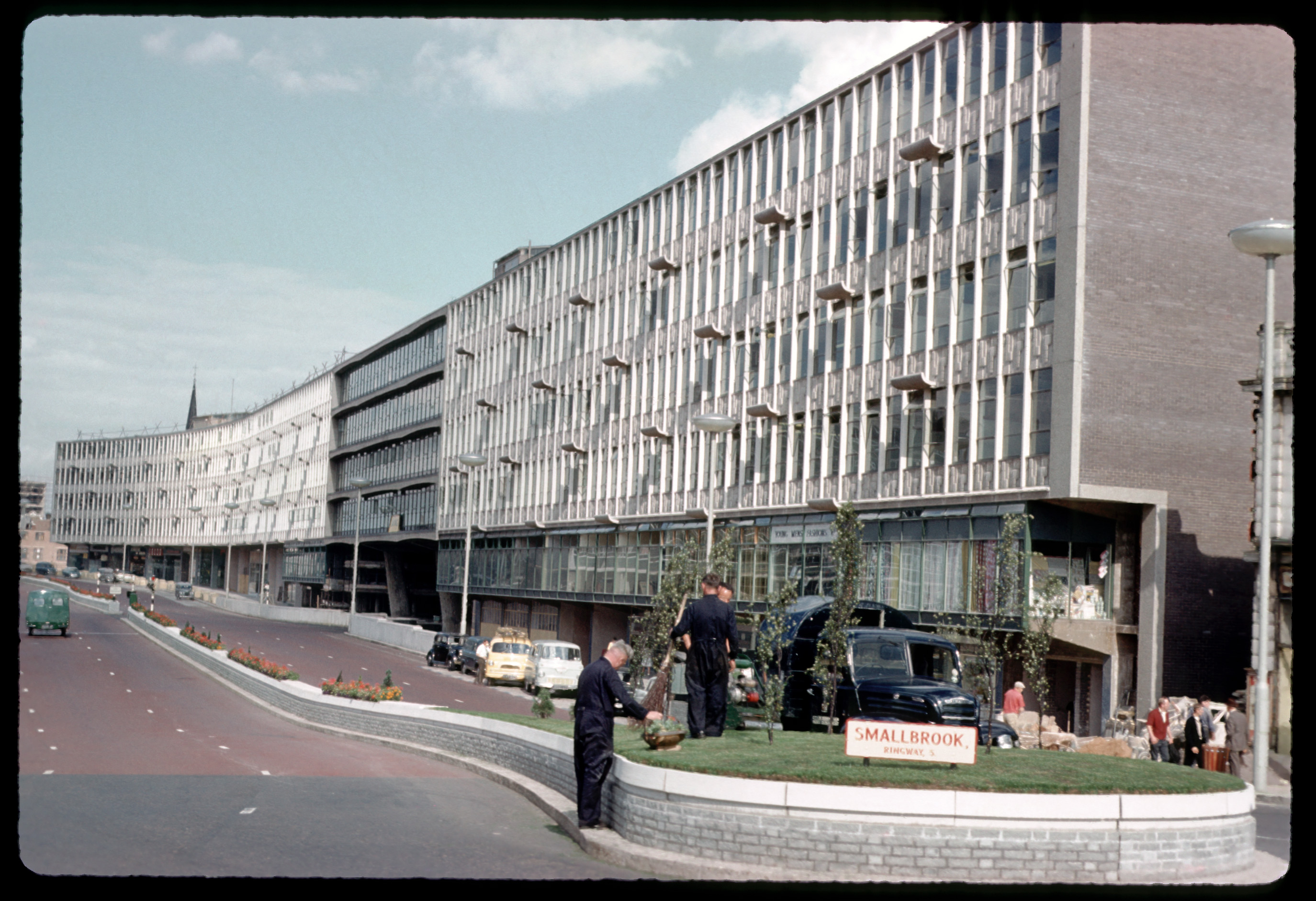 Image (JPEG) Available under License  .
.
bb0361.jpg 1MB |
Abstract
Photograph of Smallbrook Street, new inner Ring Road, taken in 1960.
| Type of Work: | Image | ||||||
|---|---|---|---|---|---|---|---|
| School/Faculty: | Faculties (to 1997) > Faculty of Education | ||||||
| Department: | Department of Extramural Studies | ||||||
| Additional Information: | Scanned by the Chrysalis project in 2004, from original 35mm slides held at the University of Birmingham. Also scanned by BrumPic, see / | ||||||
| Date: | 29 July 1960 | ||||||
| Projects: | Project Chrysalis | ||||||
| Series/Collection Name: | Birmingham's Buildings and Urban Topography | ||||||
| Keywords: | Birmingham, roads, Twentieth century Birmingham | ||||||
| Subjects: | H Social Sciences > HC Economic History and Conditions H Social Sciences > HN Social history and conditions. Social problems. Social reform D History General and Old World > DA Great Britain | ||||||
| Funders: | Museums, Libraries and Archives (MLA) West Midlands | ||||||
| Copyright Status: | Copyright and database rights in this material belong to MLA West Midlands and the University of Birmingham. The photographic image is available to download and redistribute for non-commercial purposes. | ||||||
| Copyright Holders: | University of Birmingham | ||||||
| Remote Supplementary Files: |
| ||||||
| ID Code: | 532 |
|
Repository Staff Only: item control page
